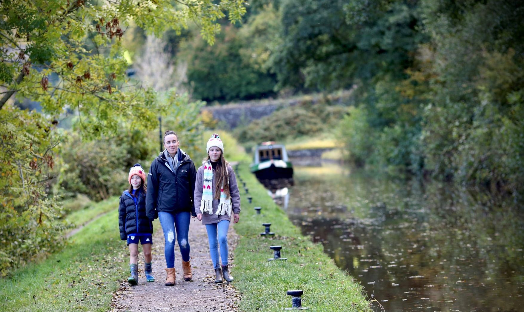
Taff Trail – Brynich Lock to Talybont-on-Usk
A pleasant walk along the canal towpath beside the Monmouthshire and Brecon Canal (known locally as the Mon and Brec), no hills.
Enjoy glimpses of the Bannau Brycheiniog (Brecon Beacons) along this scenic stretch of the canal to Talybont-on-Usk, former home of Henry Vaughan, 16th century poet.
This is a grade 2 walk: Routes with some sections with slightly looser surfaces, slight gradients and gates but no stiles. Seats are few and far between.
Grade 3
ChallengingWhere would you like to go next?
Abergavenny to Llanthony Priory
Beacons Way – Day 1 The first day offers spectactual views from the summits of The Skirrid or 'Yr Ysgryrd Fawr' and Hatterrall Hill.
Start point: Abergavenny Railway Station (SO 305136)
Finish point: Llanthony Priory (SO 288278)
Distance: 22km / 13.5 miles
Assent: 850m / 2790ft
Difficulty: Hard
Time: 6 hours
Facilities at start point: Cafe, Accommodation, Toilets, Tourist Information Centre, Pub, Post Office, Bus Stop, Youth Hostel, Train Station
The first day takes in two ascents. The first is to the summit of The Skirrid or ‘Yr Ysgryrd Fawr’ which means great pile of shards and which rises to 486m and the second is onto Hatterrall Hill, where the route joins the Offa’s Dyke for 4.5km. You may be lucky and see Red Grouse on the heather moor. Both of the elevated sections afford spectacular views of the surrounding landscape. To the east is the pastoral landscape of England and to the west are the ridges of the Brecon Beacons and Black Mountains. In between these climbs you pass through the village of Llanfihangel Crucorney, which has an inn that dates back to the 11th century. The day finishes at Llanthony Priory, a ruin that dates back to 1103.
Our route heads north from Abergavenny railway station, cutting through housing, then heads out of town before passing under the railway/road bridges. Continue along the lane until a waymarked path takes you through two sections of golf course and leads to another lane turning left up a narrow path between the houses to The Skirrid car park (SO 328 165).
The descent path on the NE slope can be a little difficult to find, but leads down through a bridle gate onto a well-marked path across fields. At the lane turn right, then after about 300m turn left through the fields that lead you to Llanfihangel Crucorney. Carefully cross the busy main road, go up the alley and follow the road right, past one of the oldest inns in Wales and left down the hill. The roads right fork takes you under the railway line. Turn left then right onto a path taking you to join Offa’s Dyke Path for 500m, then straight on across fields and onto the open hill. The ridge now leads up through a hill fort, past the old enclosure and up to the trig point on Hatterrall Hill.
Follow the ridgeline down to the saddle and from there take the path off left running along the boundary wall. This gradually leads down and through fields.
Find further information about the Beacons Way route here.
Places to visit:
Abergavenny town – find out more about what to do and see in Abergavenny here
Find out more about about the other local walks here.
Remember to:
take all your litter home,
keep your dog on a lead – because sheep and ponies regularly graze Mynydd Illtud Common.
not to light fires,
not to camp.
Grade 5
Very very challenging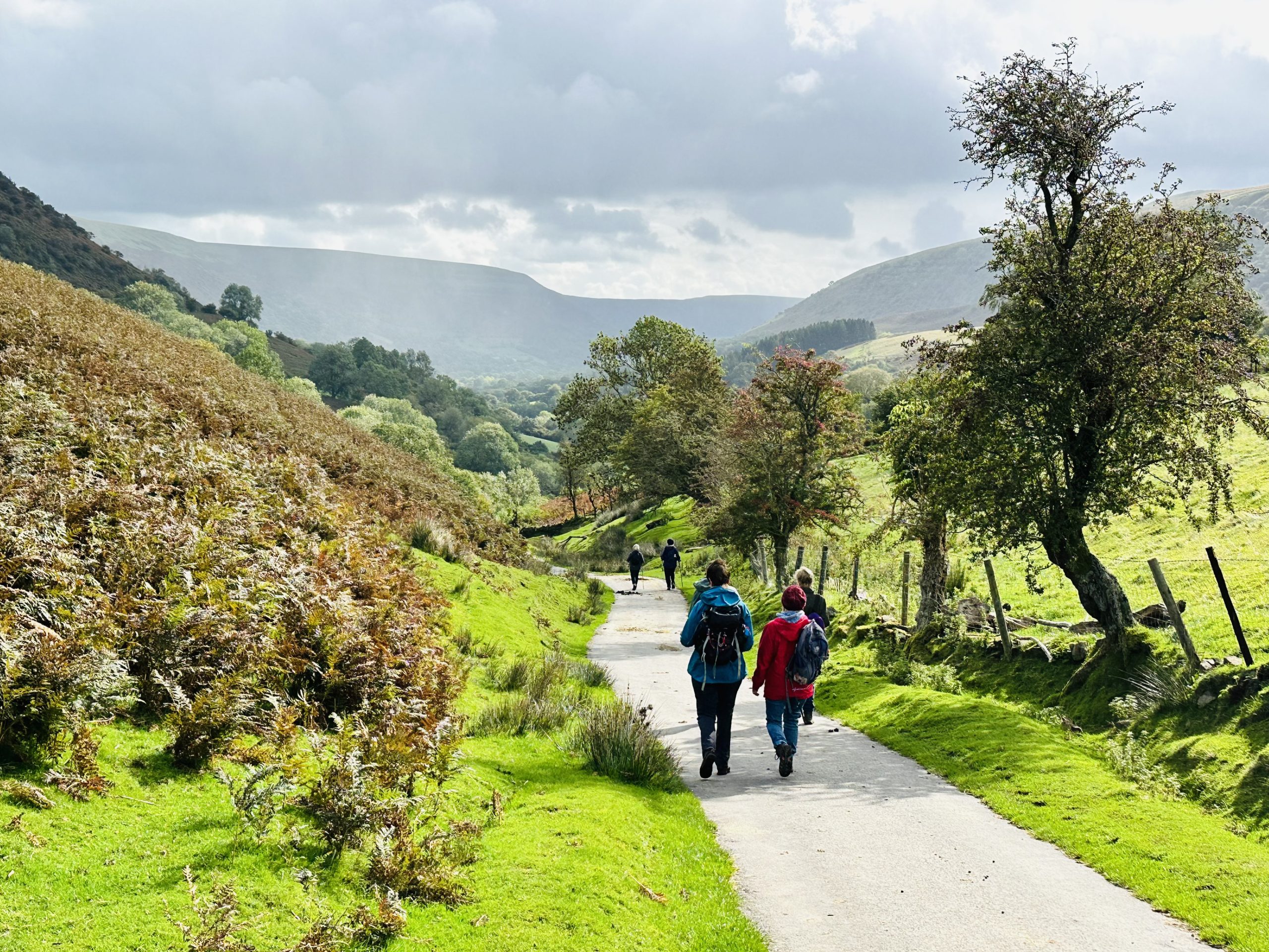
Where would you like to go next?
Llanthony to Crickhowell (Beacons Way day 2)
Beacons Way Day 2
Start point: LLANTHONY PRIORY (SO 288278)
Finish point: CRICKHOWELL (SO 215189)
Distance: 19km / 12 miles
Ascent: 890m / 2920ft
Difficulty: Hard
Time: 6 hours
Facilities at start point: Pub, Cafe, Car Park, Restaurant, Accommodation, Bus Stop, National Park Information, Shop, Toilets, Post Office
Start point: ABERGAVENNY RAILWAY STATION (SO 305136)
Finish point: LLANTHONY PRIORY (SO 288278)
Distance: 22km / 13.5 miles
Assent: 850m / 2790ft
Difficulty: Hard
Time: 6 hours
Facilities at start point: Cafe, Accommodation, Toilets, Tourist Information Centre, Pub, Post Office, Bus Stop, Youth Hostel, Train Station: From Llanthony, head west across the footbridge and up through the obvious valley. This leads you to Bal Bach, where you turn left at the cross paths and so along the ridge. Care should be taken here as navigation can be difficult in poor visibility. Soon after an area of forestry on the left, turn right and descend through the fields past Ty Mawr. Then cross the river at the bridge by the chapel and ascend through Partrishow. If you have time, explore the ancient church here with its superb oak rood screen and mediaeval wall paintings.
From the church head north and then west onto the open hill and to Crug Mawr.
From the summit, follow the obvious path to the south-west. Once off the hill turn right down a permissive path to a lane and turn right. From here the route travels through several fields and a short section of road, before ascending to the hill boundary track below Pen Cerrig-calch.
This passes the Iron Age hill fort of Crug Hywel (or Table Mountain) after which Crickhowell is named. The path returns to the boundary before making an easy descent into Crickhowell following the stream. Crickhowell has a wealth of shops, accommodation and eating places and is on a main bus route to Brecon and Abergavenny.
This walk starts immediately with a steep ascent along Cwm Bwchel and onto Bal Bach. In fact you will cross three of the four major ridges in the Black Mountains today, which offer stunning views of four valleys: the Usk, Honddu, Grwyne Fawr and Grwyne Fechan. Partrishow Church should not be missed, parts of it date from before 1065, the walls are decorated with colourful motifs and elegant lettering. Crickhowell, the final destination today, is the perfect place to welcome you at the end of your endeavours, famous for its independent high street there are plenty of cafés and pubs.
Grade 5
Very very challengingWhere would you like to go next?
Henry Vaughan Walk
Come, take a stroll in the footsteps of Henry Vaughan, a 17th century poet, whose bardic name was ‘the Swan of the Usk’.
Like Henry you will be able to enjoy the peace and beauty of this special corner of the Brecon Beacons which inspired much of his poetry.
This is a grade 3 walk: Routes with some sections with slightly looser surfaces, slight gradients and gates and some stiles.
Of interest
Begin your walk by following a short stretch of the canal which certainly brought change to the area when it was built in 1800. Since Henry Vaughan’s time the village of Talybont has grown from being a collection of scattered farmsteads to a village centred around canalside wharves. Along the way have a read of the interpretation panels and pop into the Vaughan Garden to find examples of the herbs which he would have used. Relax at the picnic benches there before continuing along part of the Brinore Tramroad along which coal was transported from near Tredegar to the canal. Your return route to the village will take you alongside the beautiful little river, Afon Caerfanell.
Grade 3
Challenging
Where would you like to go next?
Llwyn Onn Reservoir
Why not stretch your legs along this shore-line walk?
Here you can enjoy the contrast between a tranquil conifer plantation and glimpses of open water, with the bonus of a cuppa and bite to eat. This is a grade 2 walk – Routes with a hard, compacted surface but with some sections with slightly looser surfaces, slight gradients and gates but no stiles. There is also a lack of seats.
Of interest
You’ll step into a silent conifer forest with its abundance of moss which lends a fresh verdant feel to the walk after negotiating the car park junction and passing through a picnic site. The forest was planted soon after the Reservoir was built in 1926 in order to stop the soil being washed from the hillsides into the water. Two devastating cholera outbreaks and the harrowing testimony of Cardiff residents had prompted three reservoirs to be built in Cwm Taf Fawr valley in the late 19th and early 20th centuries. You’ll catch glimpses of this the last and largest of the three between the tree trunks. Splendid views open up as you near and walk over the dam. The good news is that otters, great crested grebes, goldeneye, goosander and coot now also benefit from the reservoir’s clean water. Stop awhile to get more of the story from the poetry stone and panels along the way.
Grade 2
ModerateWhere would you like to go next?
Penderyn Mineral Line
Come and discover a hidden corner of the National Park by making your way along this old tramway between Penderyn and Hirwaun.
You’ll have an excellent opportunity to do some wildlife spotting whilst at the same time looking out for signs of the route’s industrial origins. This is a grade 2 walk: Routes with some sections with slightly looser surfaces, slight gradients and gates but no stiles. There are some seats.
Of interest
As you step along this old quarry line fringed with flowers and trees you will probably hear birdsong in spring and summer accompanying the burbling sound of Afon Cynon, the nearby river which flows alongside. The relative tranquillity of today is a far cry from the time when horse-drawn trams hauled tonnes of limestone and silica rock from the quarries at Moel Penderyn to the ironworks at Hirwaun along this line, which was built in the 1780s. It would have resounded with even louder noises when after 1904 steam and then diesel locomotives replaced the horses. Why not pair your phone with the Hirwaun Audio Trail and listen to the stories of the ‘ghost’ of William Bryant – once a worker at Hirwaun Ironworks.
Grade 2
Moderate